File:Detail of SmartTrack Corridor Option 1b.jpg
From WikiAlpha
No higher resolution available.
Detail_of_SmartTrack_Corridor_Option_1b.jpg (562 × 562 pixels, file size: 179 KB, MIME type: image/jpeg)
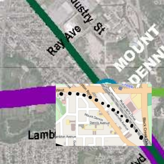
This map is an overlay of a detail from File:Mount Dennis, courtesy of OpenStreetMap Corridor Option 1b.jpg over a detail of a much larger map on page 4 of this pdf. I am going to claim fair use on the underlying detail.
File history
Click on a date/time to view the file as it appeared at that time.
| Date/Time | Thumbnail | Dimensions | User | Comment | |
|---|---|---|---|---|---|
| current | 09:31, 15 June 2015 | | 562 × 562 (179 KB) | Geo Swan (Talk | contribs) | This map is an overlay of a detail from File:Mount Dennis, courtesy of OpenStreetMap Corridor Option 1b.jpg over a detail of a much larger map on page 4 of [https://swanboatsteve.files.wordpress.com/2015/06/smarttrack_web.pdf this pdf]. I am going t |
- You cannot overwrite this file.
File usage
There are no pages that link to this file.